2,127 people live in Sullivan's Island, where the median age is 52.9 and the average individual income is $120,592. Data provided by the U.S. Census Bureau.
Total Population
Median Age
Population Density Population Density This is the number of people per square mile in a neighborhood.
Average individual Income
Sullivan's Island is a historic barrier island in Charleston County, SC (ZIP 29482) with a year-round population of 1,700 to 2,000. Located 6 miles from downtown Charleston via the Ben Sawyer Bridge (approx. 20 minutes), median home prices range from $2.5M to $3.5M for interior homes and $5M to $15M+ for oceanfront estates. Public schools feed into Wando High School in Mount Pleasant. Flood insurance is mandatory in FEMA Zone AE.
Detail & Feature | Sullivan's Island Specification |
|---|---|
County / ZIP Code | Charleston County / 29482 |
Population | Approx. 1,700 to 2,000 year-round residents |
Distance to Downtown Charleston | Approx. 6 miles (20 minutes via Ben Sawyer Bridge) |
Public High School Zone | Wando High School (Mount Pleasant, 29466) |
Median Home Price | $2.5M to $3.5M (interior); $5M to $15M+ (oceanfront) |
FEMA Flood Zone | FEMA Zone AE (flood insurance required on mortgaged homes) |
Island Area / Dimensions | Approx. 3.3 miles long; 1,015 acres above high water mark |
Island Access Route | Ben Sawyer Bridge (swing bridge from Mount Pleasant) |
Zoning & Amenities | No hotels, no chain restaurants, no traffic lights, strict BAR rules |
Considering a home on Sullivan's Island? Inventory is tight with under 30 active listings. Partner with Katherine Cox + Co. for access to off-market opportunities.
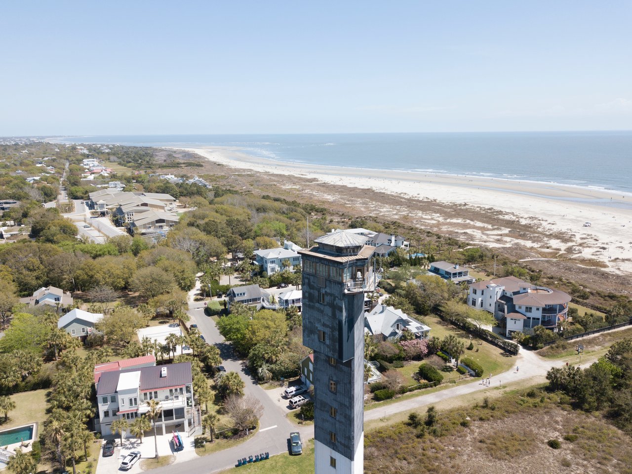
Sullivan's Island is one of the South Carolina Lowcountry's most historically significant and carefully preserved barrier islands. Situated at the entrance to Charleston Harbor, just 6 miles from downtown Charleston, the island offers an uncrowded coastal lifestyle defined by quiet beaches, deep historical identity, and strict preservation standards.
Unlike resort-heavy barrier islands, Sullivan's Island prohibits hotels, high-rises, and chain restaurants. What exists instead is a 3-mile stretch of Atlantic coastline with 1,015 acres of barrier island land, a year-round population of approximately 1,700 to 2,000 residents, and an architectural framework that preserves its historic character.
Sullivan's Island is bounded by the Atlantic Ocean to the south, Breach Inlet (separating it from Isle of Palms) to the northeast, Charleston Harbor to the west, and the Intracoastal Waterway to the north. Middle Street runs the full length of the island from the Ben Sawyer Bridge entrance to Fort Moultrie at the western tip. Station streets (numbered 1 through 32) run perpendicular to Middle Street toward the beach, providing ocean access at almost every street end.
Getting around the island is straightforward: golf carts and bicycles are preferred for daily errands along 25-mph island streets. Downtown Charleston is 20 to 30 minutes by car, Mount Pleasant shopping is 10 to 15 minutes away, and Charleston International Airport is approximately 35 to 40 minutes.
Sullivan's Island has evolved as an organic residential community rather than a vacation resort. Elevated beach houses and historic coastal vernacular architecture sit beneath maritime forests and native vegetation without manicured lawns. Strict building codes and the Board of Architectural Review (BAR) prevent overdevelopment.
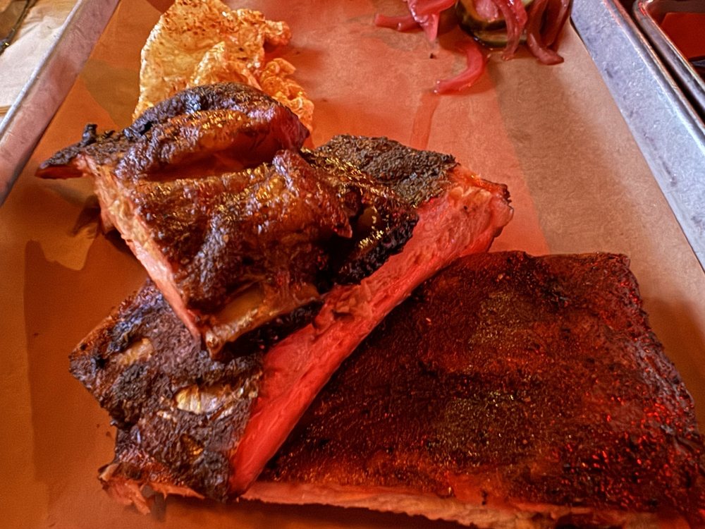
The local culinary corridor on Middle Street features acclaimed independent restaurants, including Poe's Tavern (Edgar Allan Poe-themed pub fare), The Obstinate Daughter (upscale coastal Italian), Home Team BBQ, and The Co-Op. Bert's Market handles daily grocery necessities on the island.
Sullivan's Island consistently ranks among the most valuable residential markets in South Carolina due to extreme land scarcity. Key pricing tiers include:
All properties on Sullivan's Island reside within FEMA Zone AE flood designations, making flood insurance mandatory for mortgaged homes. Buyers should evaluate elevation certificates, septic system condition, and BAR architectural guidelines during due diligence. Review our complete guide to waterfront homes in Charleston for additional insight.
Comparing Sullivan's Island with Isle of Palms or Old Village in Mount Pleasant? Partner with Katherine Cox for expert advisory and off-market opportunities.
Sullivan's Island, SC is located in Charleston County under ZIP code 29482. Access to the island is provided via the Ben Sawyer Bridge from Mount Pleasant.
Sullivan's Island is approximately 6 miles from downtown Charleston, a drive of 20 to 30 minutes via the Ben Sawyer Bridge and US-17.
Median home prices on Sullivan's Island range from $2.5M to $3.5M for interior homes, and $5M to $15M+ for oceanfront estates on Atlantic Avenue.
Sullivan's Island is part of the Charleston County School District. Public school students attend Mount Pleasant schools, including top-ranked Wando High School.
Yes. Sullivan's Island offers an exceptional quality of life with uncrowded beaches, zero commercial development or hotels, and close proximity to historic downtown Charleston.
Katherine Cox is a premier luxury real estate specialist in Charleston, SC with decades of experience representing buyers and sellers across Sullivan's Island, Isle of Palms, Historic Downtown Charleston, and Mount Pleasant.
Office: 1127 Queensborough Blvd, Ste. 103, Mount Pleasant, SC 29464 | Direct: (843) 568-3193. Learn more on Katherine Cox's Profile Page.
Source Notes: Population statistics verified via U.S. Census Bureau. Flood map designations verified via FEMA Map Service Center. MLS sales data verified via CTAR MLS as of 2026.
There's plenty to do around Sullivan's Island, including shopping, dining, nightlife, parks, and more. Data provided by Walk Score and Yelp.
Explore popular things to do in the area, including Circle K, Home Team BBQ, and Sullivan’s Fish Camp.
| Name | Category | Distance | Reviews |
Ratings by
Yelp
|
|---|---|---|---|---|
| Dining | 0.33 miles | 0 reviews | 0/5 stars | |
| Dining · $$ | 0.39 miles | 548 reviews | 4.3/5 stars | |
| Dining | 0.55 miles | 185 reviews | 4/5 stars | |
| Beauty | 0.5 miles | 0 reviews | 0/5 stars | |
|
|
||||
|
|
||||
|
|
||||
|
|
||||
|
|
||||
|
|
Sullivan's Island has 817 households, with an average household size of 2.6. Data provided by the U.S. Census Bureau. Here’s what the people living in Sullivan's Island do for work — and how long it takes them to get there. Data provided by the U.S. Census Bureau. 2,127 people call Sullivan's Island home. The population density is 851 and the largest age group is Data provided by the U.S. Census Bureau.
Total Population
Population Density Population Density This is the number of people per square mile in a neighborhood.
Median Age
Men vs Women
Population by Age Group
0-9 Years
10-17 Years
18-24 Years
25-64 Years
65-74 Years
75+ Years
Education Level
Total Households
Average Household Size
Average individual Income
Households with Children
With Children:
Without Children:
Marital Status
Blue vs White Collar Workers
Blue Collar:
White Collar: